My project maps the Christianization of the Holy Land in the Late Antique/early Byzantine period (approximately 300-600 CE) using Christian literary references, pilgrimage itineraries, and various material remains throughout the region that played a part in its cultural transformation. Broadly speaking, I want to better understand how cultural change happens.
In Late Antiquity, Christians came to dominate the Roman Empire, but part of my project is complicating that idea of any cultural entity “dominating” a place. Every Roman imperial province and region (including Palestine) was a complex tapestry of indigenous residents, foreign traders and immigrants, local historical, mythological, and cultic traditions, imperial traditions meant to bind the area to the empire, Roman bureaucratic infrastructures, older bureaucratic infrastructures, and complex dynamics within its socioeconomic strata.
Although a large number of individuals had converted to some form of Christianity by this point, a question that plagues historians of early Christianity is when can we say that any region became “Christian?” Is it merely a question of numbers and population? Can infrastructures (i.e. bureaucracies, cities, roads and aqueducts, law/policy) convert to a religion? What percentage of one’s cultural heritage needs to be painted over or replaced in order for historians to say it no longer ”dominated” an area? The Holy Land is an ideal place to consider these questions. It was a diverse region ethnically, religiously, economically, and climate-wise, and the only thing that caused it to be portioned off from the surrounding regions as a distinct “Land” was that Christians saw it as distinguished by its “holy” nature. Christian pilgrims in particular played an important part in this process. They traveled from outside the region specifically to see those things that made it holy. In turn, local people began creating incentives to attract pilgrims. Part of my theory is that this dynamic between local peoples and pilgrims inadvertently defined the Christian Holy Land.
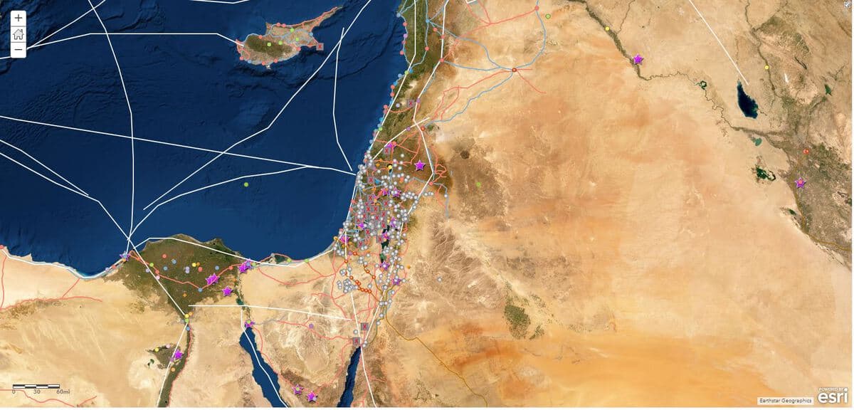
When I started planning my project several months ago, I imagined I would put more of my energy into mapping religious literary references and artistic representations of the Holy Land to see if the way Christians described it reflected reality. In order to create an accurate picture of that reality, I spent the first two weeks searching for preexisting GIS data sets of the cities, roads, political boundaries, and religious landmarks of the region. I have found a wealth of data across the web, generously make public, which has given me more background information than I could have imagined. If anything, I’m a bit overwhelmed at all I have, which complicates the challenge of figuring out which data matters to the historical narrative I’m tracing.
What’s more, the more that I layer Christian literary references and material sources onto my map, the more that traditional explanations for the rise of Christianity—moral superiority, socioeconomic discontent, cultural competition and political ambition—appear overly simplistic in this region. Maybe that is a good thing, but I need to find paradigms that connect the trade routes, cities, pagan temples, synagogues, monasteries, and shifting imperial borders into something meaningful.
For the next five weeks, I believe I will need to focus on the following questions:
- Where were populations in the region rising and falling? Christian populations? Non-Christian populations ?
- How were specific pilgrimage routes being popularized?
- Who was coming to the region for the specific purpose of Christian pilgrimage? What were they expecting, and what did they find?
- What kinds of local efforts were there to draw Christian pilgrims to their cities, towns, and holy places? What was at stake for them? Reputation? Money? Salvation?
- What kinds of attributes made a place more or less Christian?
-Andrea Scardina