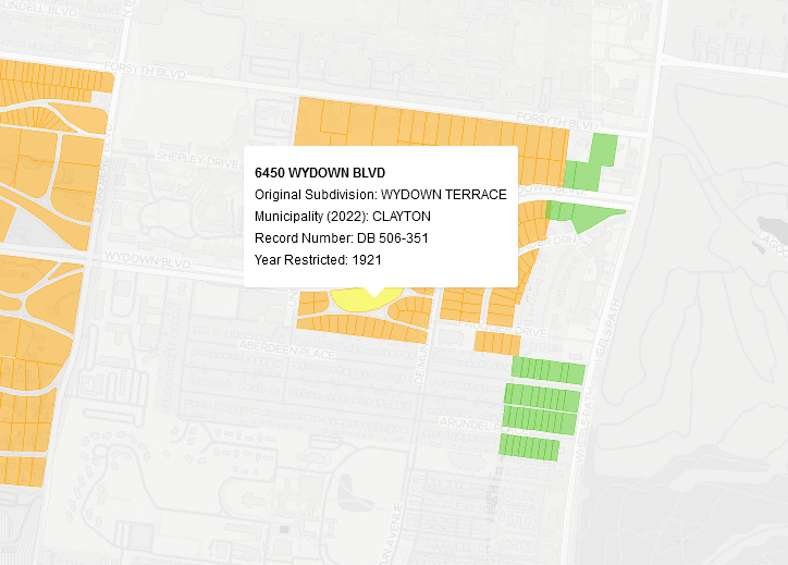
Earlier this year, our Geographic Information Specialist, Jay Bowen, worked with Colin Gordon at the Department of History to visualize his extensive research on racially restrictive covenants impacting residential parcels throughout Greater St. Louis in a new interactive map. With this map, users can explore parcel-by-parcel the historical proliferation of these covenant restrictions from 1870 to 1952, filter by type of covenant, and return the record number for the specific covenant governing each parcel.
The map can be found at the BTAA Geoportal here and on its own site here.
For more information, please see the following blog post from the Big Ten Academic Alliance Geospatial Information Network (BTAA-GIN):
Dividing the City: Race-Restrictive Covenants in St. Louis and St. Louis County