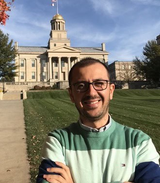
“As a PhD candidate in Religious Studies, I am interested in Late Antique Christian warrior saints or military martyrs, how they emerged and how their cults spread throughout Mediterranean. In this summer project, I aimed to create a geo-spatial map based on ancient Christian sources. To prepare the map, I started by scanning primary sources and collecting data in the original languages. The sources include Greek, Latin, Coptic, and Syriac, to visualize the origins of the first martyrdom culture in Christianity, specifically military martyrs. While Christian martyrdom has been extensively studied, military martyrdom has not received significant academic attention. So, I believed that discovering this data from the early Christian sources, many of which remain untranslated into English, and visualizing it through mapping would significantly contribute to the field.
In this project, I wanted to underline that military martyrs should be separated from general martyrs and evaluated in a separate category. I aim to show its importance by reinforcing it visually. Basically, what I have done and will do is to determine the name of the martyr, in which source his name was first mentioned, where he was martyred, and where his cult belief spread later, and transfer all this information onto the map.
Of course, I encountered many challenges while collecting the data in Google Spreadsheet. Scanning the literature and finding the data I wanted, takes a lot of time. This is understandable. Because I am scanning thru manuscripts and in their original languages. But the more interesting point is that since I was examining the regions in the ancient world, I had a hard time finding the current equivalents of some locations. As can be seen, I was unable to determine the current locations corresponding to the names mentioned in the texts. Sometimes, since there were multiple different locations with the same name, I had difficulty figuring out which specific location the text was referring to, or the name of the region, city or town has changed constantly throughout history, and we do not have sufficient records.
The map to which Studio has contributed more is based the database in this spreadsheet. I would like to mention that, in addition to visualizing the data thru map, I also established the technical and engineering foundation for this project over the summer. This map, to which I will make more additions, can now show all locations together and at the same time present the user with details about each location and name by selecting them one by one.
It is a big step for me to bring this map, which I will still enrich with many additions, to this stage in a short time. I would like to thank Graduate College, Studio team, and classmates who made this possible.”
